June 2024
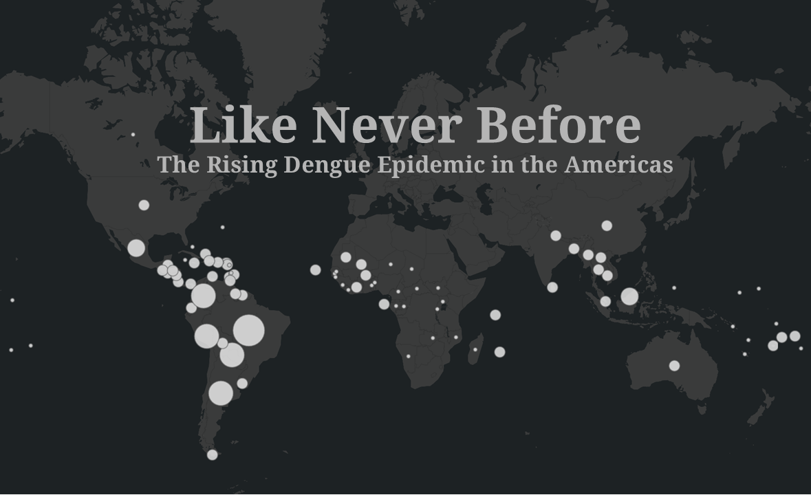
This ArcGIS StoryMap on the rising dengue epidemic in the Americas sheds light on the disease, its causes, and some innovative approaches to reducing its spread. It includes several interactive maps I developed using ArcGIS Online. The color palette I developed for the story, with moody greys and reds, is intended to issue caution around the potential for worsening epidemics. I developed the maps and story as part of my Graphic Design in Cartography course at the University of Wisconsin–Madison.